
THE COAST RANGE
Built by Volcanoes, Polished by Glaciers
Story by Katherine Fawcett | Images by Joern Rohde
Long before anyone carved a ski run into the mountainside and chairlifts buzzed overhead, or built a bike jump by a river, before après on patios and late-night hot tub parties, Whistler was shaped by forces far larger than humans.
This entire landscape — the jagged peaks, the lakes and rivers, the steep valleys — was forged by volcanoes, crushed by glaciers, thrust upward by colliding tectonic plates, then carved and polished by ice.
Evidence of Whistler’s chaotic geological childhood is everywhere you look:
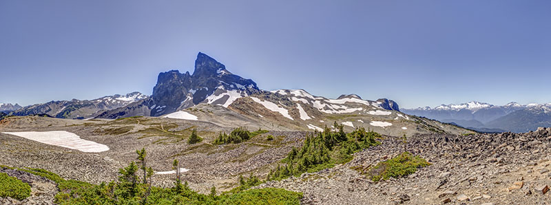
That dramatic black rock spire on the horizon. An ancient volcano?
The remarkably turquoise lakes. The result of glacial silt?
Those broad valleys between towering cliffs. Forged by Ice Age bulldozers?
The more in-depth you look, the wilder this place gets!
Black Tusk: The Volcano That Refused to Quit
Even if you’ve never hiked near Black Tusk, you probably recognize the shape immediately: dark, jagged, looking slightly menacing, rising above the alpine like a giant broken tooth.
Black Tusk, at 2,319 metres (7,608 feet) above sea level, is the hardened remains of an ancient volcano that formed between 1.3 million and 170,000 years ago during a fiery stretch of activity in the Garibaldi Volcanic Belt — part of the same volcanic chain that stretches all the way down through the Cascade Range. Back then, molten rock surged upward through cracks in the earth, building massive volcanic peaks throughout the region. Then came glaciers. And weather. And time.
Over thousands of years, the softer outer layers of the volcano were scraped away, leaving behind the dramatic volcanic core we see today. That’s why Black Tusk looks so stark and sharp compared to the surrounding mountains. It’s essentially the skeleton of a volcano. What could be more unique than that?
Why Garibaldi Lake Looks Unreal
Garibaldi Lake, at the heart of Garibaldi Provincial Park, is arguably the biggest show-off in British Columbia. Every summer, hikers round the final corner of the trail, spot the water, and immediately accuse nature of using Photoshop. The surreal colour is almost unbelievable.
That electric turquoise comes from tiny particles of rock created when glaciers slowly grind across the mountains. This ultra-fine sediment gets carried into the lake through meltwater. The particles remain suspended in the water and scatter sunlight, reflecting vivid blue-green wavelengths.
Fire made the mountains. Ice painted the water. bcparks.ca/garibaldi-park
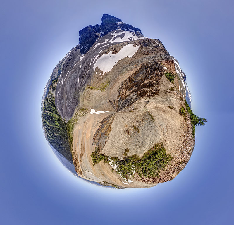
Black Tusk - Polar Image
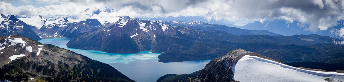
Garibaldi Lake - Photo Kim Eijdenberg
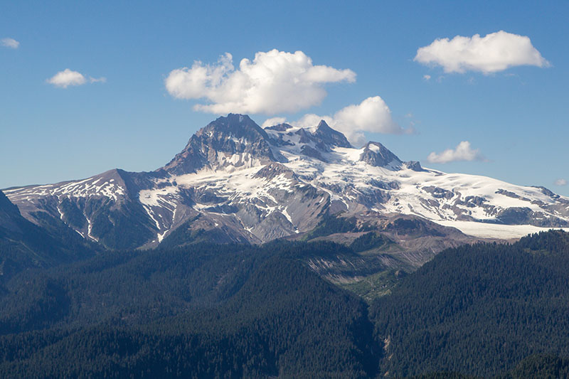
Mount Garibaldi
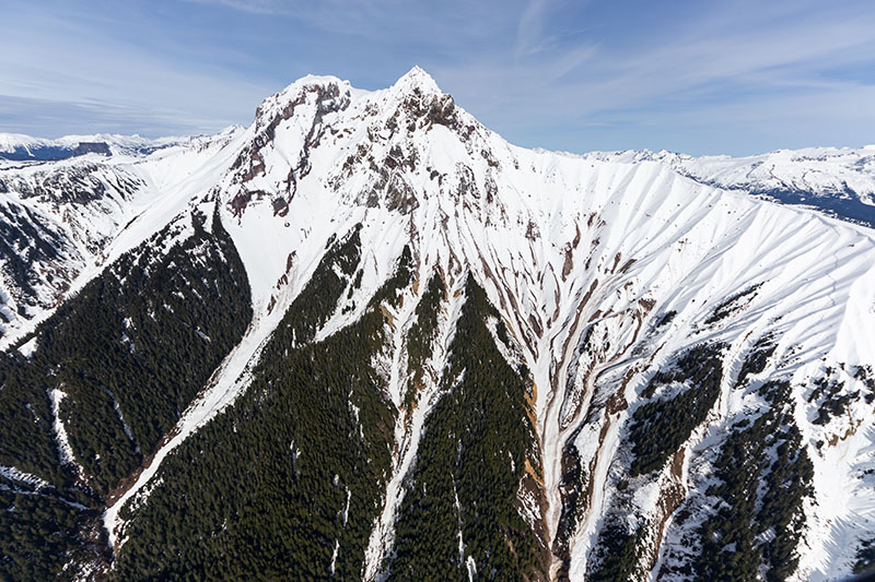
Mount Garibaldi
The Coast Mountains Didn’t Come Quietly
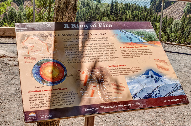
The Coast Mountains surrounding Whistler weren’t gently rolled into place. They were slammed together. Approximately 150 to 200 million years ago, huge tectonic plates began colliding off the western edge of what we now call North America. One slab of ocean floor started sliding beneath the continent in a process called subduction, triggering intense volcanic activity across the region.
Molten rock surged upward. Volcanoes erupted. The landscape became very dramatic, very quickly. But here’s the twist: A lot of the mountains we see today didn’t form from volcanoes above ground.
Much of the Coast Range was created underground.
Deep beneath the surface, massive magma chambers slowly cooled and hardened into granite. Over millions of years, the overlying rock eroded, exposing the tough granite cores underneath. That’s why the mountains around Whistler feel so steep and rugged compared to those in many other ranges.
Take the Stawamus Chief near Squamish. Unlike Black Tusk — which is volcanic — the 702 m (2,303 ft.) Chief is made almost entirely of granite formed deep underground. Glaciers later carved its sheer cliffs into the massive granite wall that is now famous in the climbing community.
The Coast Mountains are essentially a mélange of ancient volcanoes, buried magma chambers, tectonic collisions, and glacier sculpting. And they’re still changing. The same huge tectonic forces that built these mountains are still active today, slowly pushing parts of the range upward. Occasionally, earthquakes remind us that the earth beneath the Sea to Sky Corridor is still very much alive.
Then the Glaciers Showed Up
If volcanoes built the landscape, glaciers were the sculptors.
During the last Ice Age, this entire region was buried beneath enormous ice sheets. In some places, glaciers were more than one kilometre thick. These slow-moving rivers of ice bulldozed their way through the mountains for thousands of years, carving the landscape surrounding Whistler.
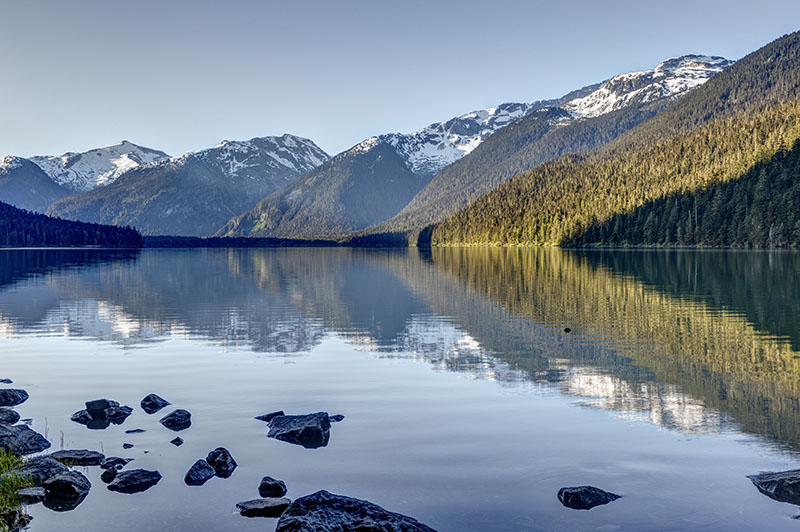
While rivers cut narrow V-shaped valleys, glaciers create broad U-shaped valleys with steep sides and wide bottoms. You can see the glacier work in the valley stretching between Whistler and Pemberton, and the dramatic walls around Cheakamus Lake.
Reading the Land
One of the coolest things about Whistler’s geology is that it’s always “in your face.” You can hike beneath the volcanic spire of Black Tusk in the morning, swim in glacier-fed lakes by afternoon, then spend the evening on a patio staring at valleys carved by Ice Age glaciers.
But if you really want to understand the scale of it all, seeing it from above changes everything. Heli-hiking and sightseeing tours reveal the full story written across the landscape: ancient lava formations, turquoise glacial lakes, granite ridges, volcanic remnants, and massive valleys stretching toward the coast.
No Limits Heli Adventures offers a variety of heli sightseeing and adventure tours that allow passengers to experience stunning views of the area, including the steaming crater of the ancient Mount Meager volcano. And for a once-in-a-lifetime adventure, get up close and personal with crystalline ice on a guided tour of spectacular 12,000-to-20,000-year-old ice caves.
nolimits-helicopters.com/en
From the air, Whistler suddenly makes perfect sense. This isn’t just a resort town. It’s the aftermath of millions of years of geological drama.

Ice Caves - No Limits Heli Adventures